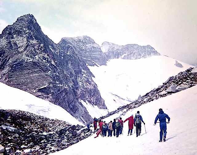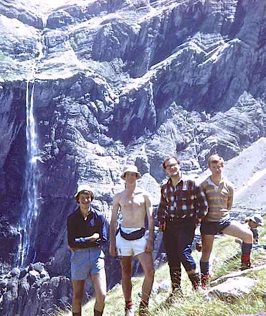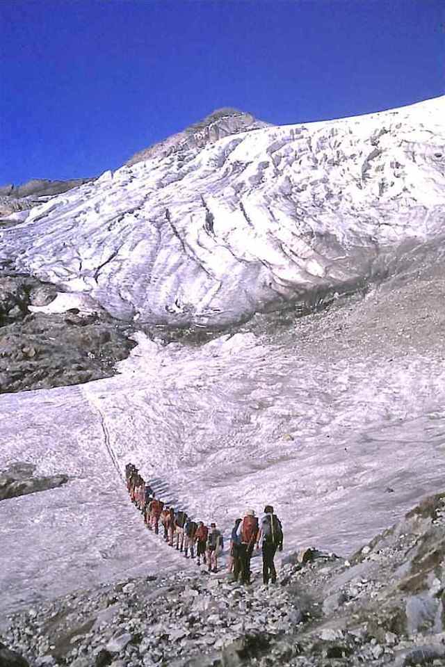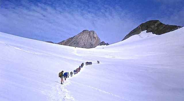
Heading up the Ossoue glacier towards Vignemale
Leaders Allan Witton, Gerry Leversha, Derek Stubbs, Bill Souster, Adrian Dobson, John Willson. Coach Driver: Dennis Hughes. The illustrated log below contains a full party list.
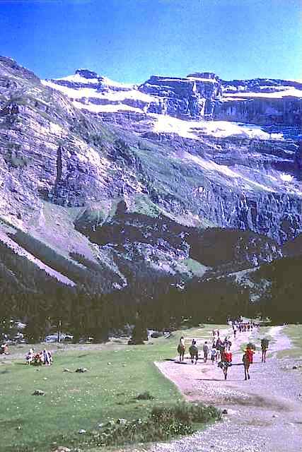
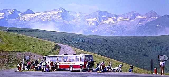
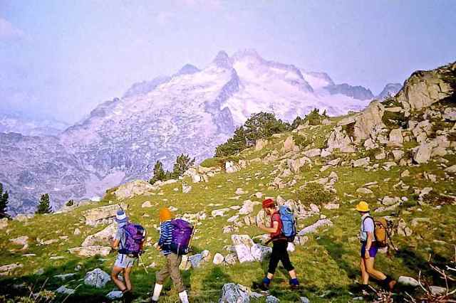
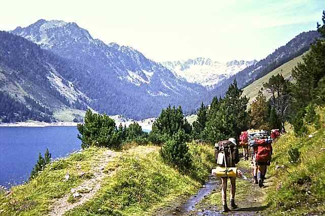
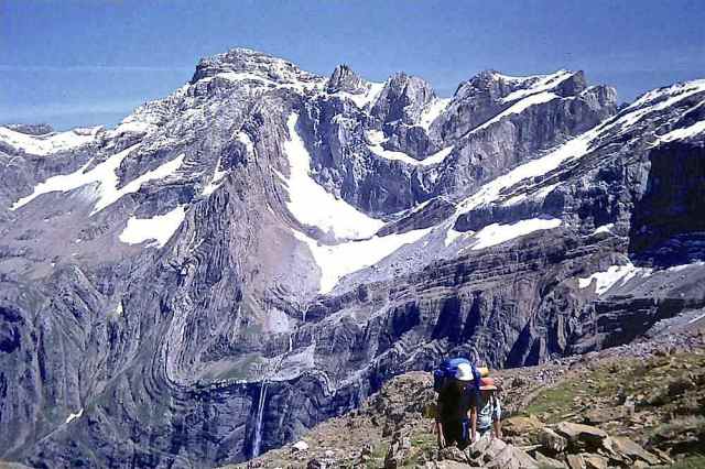
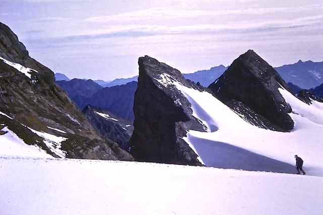
The Route We followed an east to west route through the French Hautes Pyrénées, beginning near Bagnères de Luchon and ending near Cauterets. The route was chosen to link together some of the accessible summits east of Gavarnie and have as its climax a camp at the Brèche de Roland and an ascent of Vignemale. Summits climbed were Pic de Céciré (2403), Pic Perdiguère (3222), Pic de Néouvielle (3091), le Taillon (3144), Vignemale (3298). The route was in four sections between valley camps.
- 1. (3 days) Superbagnères – Refuge d’Espingo
- Ascent of Pic Perdiguère
- Refuge d’Espingo – Granges d’Astau – Loudenville
- 2. (3 days) St. Lary – Néouvielle Nature Reserve
- Ascent of Pic de Néouvielle
- Descent to Fabian
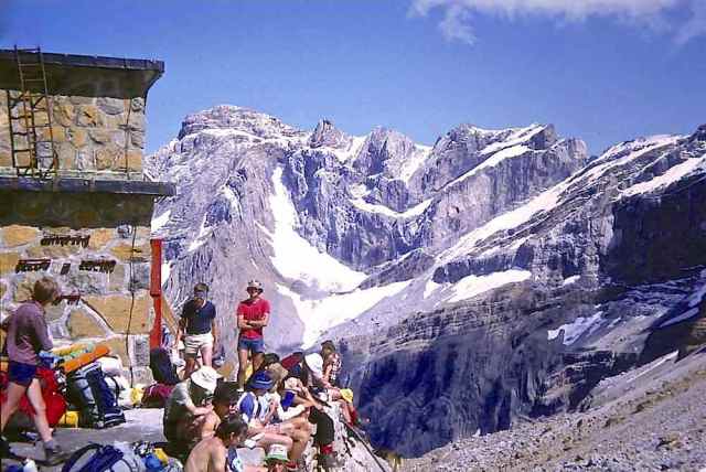
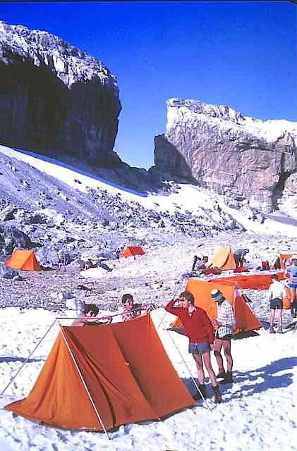
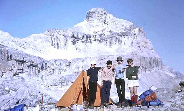
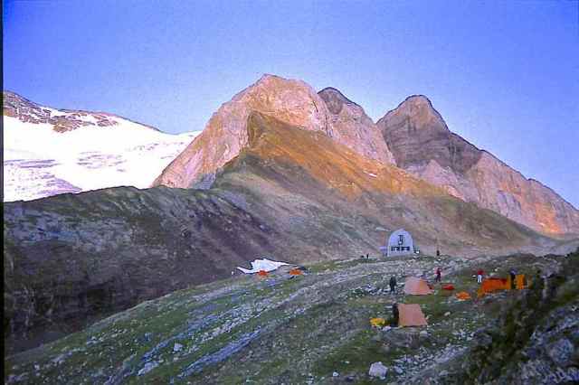
- 3. (2 days) Gavarnie – Brèche de Roland
- Ascent of Le Taillon – Gavarnie
- 4. (4 days) Gavarnie – Lac d’Ossoue
- Lac d’Ossoue – Refuge Bayssellance
- Ascent of Vignemale
- Refuge Bayssellance – Pont d’Espagne
Below is a slide show of a selection of images from the Pyrenees
All the images in the slide show are taken from the illustrated log below, where their locations are given.