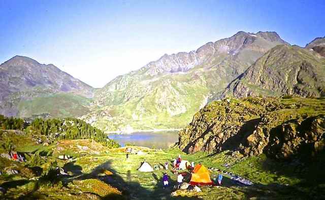
Header image: Camped below Pic Carlit
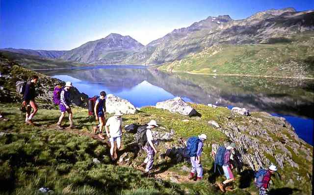
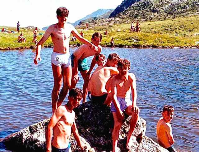
Page image: Swimmers at Étang de Pédourrés
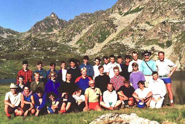
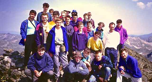
Leaders Allan Witton, Adrian Dobson, Simon Duffy, Graham Seel, Steve Uren, Dan Bedford Coach Driver: Dennis Hughes. The illustrated log below contains a full party list.
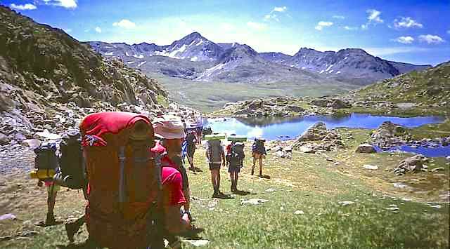
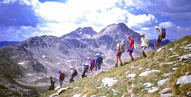
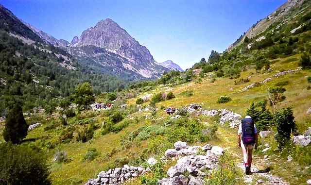
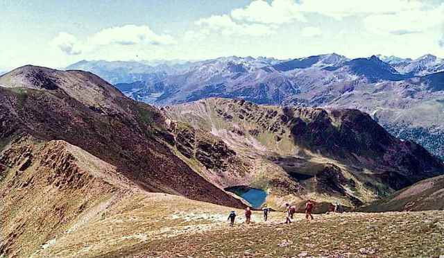
The Route Though Trek has been to the Pyrenees three times before, this year’s route broke new ground with a first ever visit to the eastern Hautes-Pyrénées. The first four-day section of the route was through the French Carlit massif, the last high mountain wilderness before the Pyrenees descend in rolling hills towards the Mediterranean. From a camp by Étang de Lanoux we made an ascent of the highest summit in the range, Pic Carlit (2921).
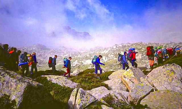
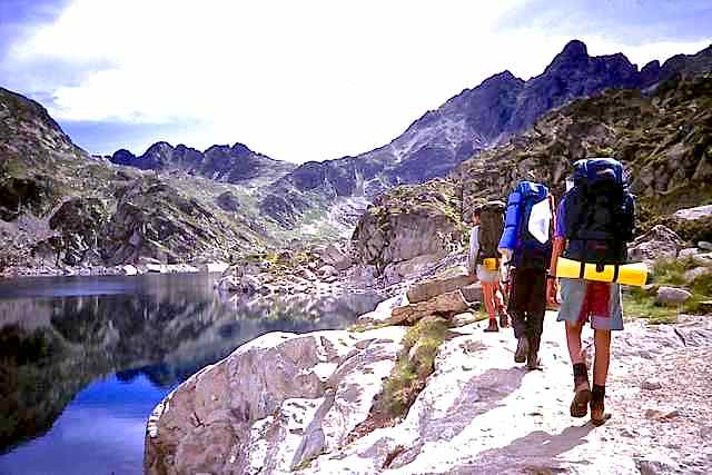
After a free day at Porté-Puymorens the next three-day section was through the mountains of southern Andorra bordering Spain. After a valley camp at Encamp, we transferred by coach to the north of Andorra and in the next five-day section followed parts of the Pyrenees High Route close to the French frontier, with a whole day excursion from Inclès, before crossing the Col de l’Albe to finish in the Ariège valley back in France.
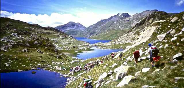
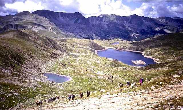
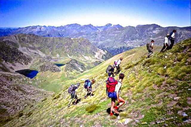
Route Outline: Day 1. Forges d’Orlu > Étang d’en Beys 2. Étang de Lanoux Puig de la Grava 3. Puig de Lanós, Pic de Bésineilles 4. Pic Carlit > Porté-Puymorens 5. Estany Gros Solà de la Vinyola 6. Circ dels Pessons Pic Nègre d’Envalira 7. les Escaldes Pic de Montmalús 8. el Serrat > Estany dels Meners Pic de Serrèra 9. Auberge d’Inclès Pic de Ransol, Pic de la Portaneille 10. Pic de la Cabanette, Roc Mélé, Pic de la font dels Isards, Pic d’Estany Mort 11. Étang de Pédourrés 12.l’Hospitalet près l’Andorre
Below is a slide show of a selection of images from Haute Arriège – Andorra. All the images are taken from the illustrated log below, where their locations are given. Click on the file name to view it, and it can then be downloaded.